Professional Profile
Transforming complex data into trusted, explainable, and operational intelligence through data analytics, data engineering, geospatial science, and artificial intelligence.
I specialise in designing intelligent data-driven systems that transform spatial and non-spatial data into actionable insights for public health, emergency management, humanitarian response, and evidence-based organisational decision-making.
My expertise combines data analytics, data engineering, enterprise GIS, GeoAI, machine learning, cloud computing, secure APIs, explainable AI, and responsible AI to bridge academic research with operational implementation.
Over the past decade, I have applied these technologies across enterprise GIS, disease surveillance, emergency management, humanitarian programmes, and applied research, developing practical solutions that support operational decision-making and measurable real-world impact.
My current research and engineering work focuses on integrating data engineering, GeoAI, explainable AI, secure API architectures, and cloud technologies into practical decision-support systems for real-world applications.
GitHub Portfolio | LinkedIn | Email
Professional Impact
| Achievement | Impact |
|---|---|
| Years of Experience | 10+ |
| GIS Maps and Analytical Products Produced | 6,000+ |
| Professionals Trained | 100+ |
| Peer-reviewed Publications | 10+ |
| GeoAI Platform Developed | 1 |
| Countries Supported | 2+ |
Signature Project
Privacy-Preserving GeoAI Health Surveillance System
An end-to-end hybrid-cloud GeoAI platform integrating data engineering, spatial intelligence, machine learning, explainable AI, governance controls, secure APIs, and interactive dashboards for privacy-preserving public-health surveillance and operational decision support.
Technology Stack
Python PostgreSQL/PostGIS GeoPandas PySAL Scikit-learn XGBoost SHAP FastAPI Docker AWS Streamlit JWT RBAC
Project Links
- Live Dashboard: Open dashboard
- GitHub Repository: View source code
- Secure API Documentation: Available for authorised academic review
This project demonstrates the complete lifecycle of a modern GeoAI system, from data engineering and spatial analytics through machine learning, explainability, governance, secure API development and cloud deployment.
Portfolio Areas
Data Analytics and Data Engineering
Projects demonstrating scalable data engineering, ETL pipelines, distributed analytics, machine learning workflows, streaming data processing, and analytics engineering for real-world decision support.
- Intrusion Detection with Big Data Analytics
- Large-scale NLP and Document Clustering
- Streaming Analytics with NASA HTTP Logs
- Location Intelligence for Site Selection
Enterprise GIS and Spatial Data Engineering
Projects demonstrating enterprise GIS implementation, spatial data engineering, quality assurance, geospatial automation, hazard analysis, remote sensing, and spatial decision-support workflows.
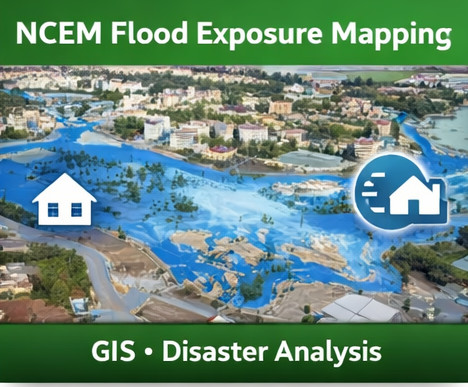
- NCEM Flood Exposure Mapping
- AFENET Liberia Program Footprint
- Airport Site Suitability Mapping
- Land Degradation and Productivity Assessment
GeoAI and Public Health Intelligence
Projects demonstrating the application of GeoAI, spatial epidemiology, predictive modelling, hotspot detection, explainable AI, and geospatial decision support for public-health intelligence.
- Privacy-Preserving GeoAI Health Surveillance System
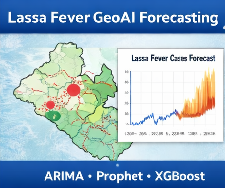
- Lassa Fever GeoAI Forecasting
- Cross-Border Ebola and Marburg Risk Mapping
- COVID-19 Temporal Hotspot Analysis
- AFI / SARS-CoV-2 Spatial Distribution
Cloud, APIs and Intelligent Systems
Projects demonstrating cloud deployment, secure API development, automation, monitoring, reliability engineering, DevOps concepts, and governance-aware software systems.
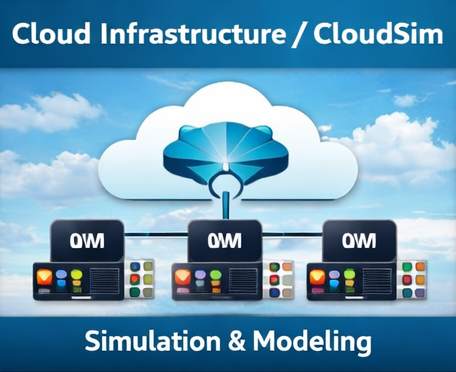
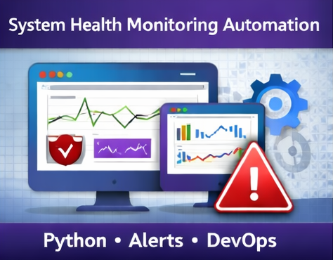
- AWS EC2 CLI Lab
- CloudSim Performance Lab
- System Health Monitoring Automation
- Secure File Upload and API Data Ingestion
Technical Capabilities
Data Analytics and Engineering
Python • SQL • PostgreSQL • PostGIS • Pandas • NumPy • ETL/ELT • Data Validation • Feature Engineering • Analytics Engineering
GeoAI and Spatial Analytics
ArcGIS Pro • ArcGIS Online • QGIS • GeoPandas • PySAL • Moran’s I • LISA • Getis-Ord Gi* • Remote Sensing
Machine Learning and AI
Scikit-learn • XGBoost • Random Forest • Logistic Regression • SHAP • Explainable AI • Spatial Machine Learning
Cloud, APIs and Big Data
FastAPI • REST APIs • Docker • AWS • Azure • Streamlit • Git • GitHub • Spark • PySpark • Hive
Governance and Responsible AI
JWT Authentication • RBAC • Audit Logging • Privacy-Preserving Analytics • API Security • Responsible AI • Data Governance
Research and Applied Work
My research and applied work combine data analytics, enterprise GIS, GeoAI, machine learning, and spatial epidemiology to address challenges in public health, emergency management, and intelligent decision-support systems.
My work spans:
- Data Analytics
- Data Engineering
- GeoAI
- Enterprise GIS
- Public Health Intelligence
- Spatial Epidemiology
- Emergency Management
- Responsible AI
- Decision-Support Systems
Research outputs include peer-reviewed publications covering COVID-19, malaria, measles, Lassa fever, GIS and spatial epidemiology.
Current Professional Development
I continuously invest in developing expertise in emerging technologies that strengthen my capabilities in data engineering, GeoAI, cloud-native analytics, and intelligent decision-support systems. Current areas of focus include:
- IBM Data Engineering Professional Certificate
- Microsoft Fabric
- Lakehouse Architectures
- Cloud-native Data Engineering
- Advanced GeoAI
- Graph Neural Networks
- GeoFoundation Models
- Spatio-temporal AI
- AI Agents
- Cloud Security
Professional Direction
My work is centred on integrating:
Data Analytics
        │
        ▼
Data Engineering
        │
        ▼
Enterprise GIS
        │
        ▼
GeoAI
        │
        ▼
Explainable AI
        │
        ▼
Secure Cloud Systems
        │
        ▼
Operational Decision Support
My long-term objective is to design secure, explainable, scalable, and intelligent systems that transform complex data into trusted insights for operational and strategic decision-making.
Availability
I am currently interested in opportunities involving:
- Data Analytics
- Data Engineering
- Enterprise GIS
- GeoAI
- Spatial Data Engineering
- AI-Driven Decision Support
- Public Health Intelligence
- Geospatial Software Development
I also welcome opportunities for research collaboration, consulting and open-source contributions.
Connect
- Location: Raleigh, North Carolina, USA
- GitHub: Jedidiah82
- LinkedIn: Godwin Etim Akpan
- Google Scholar: Scholar Profile
- ORCID: 0000-0001-8204-9219
- ResearchGate: Research Profile
- Email: godwineakpan1@gmail.com
- Resume/CV: Available upon request
Building secure, explainable, and intelligent systems for better decisions.
© 2026 Godwin Etim Akpan